I’ve been on two hikes in the last 8 days or so. Here’s a brief trip report for both, plus one failed attempt.
Silver Creek to Mineral City
This looked like a cool hike with mines to explore and everything. But, the internet was telling me that the road might be washed out. (Read:
http://www.nwhikers.net/forums/viewtopic.php?p=225991
http://www.troyh.us/OurMovetoSeattle/Hikes/Silver%20Creek%20and%20Mineral%20City/index.html, etc.)
But it was worth a try. Maybe the road has been fixed by now. About that:
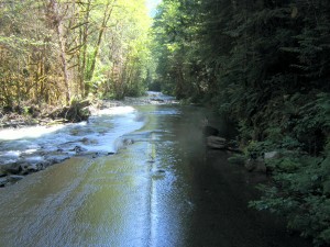
So we drove to a different nearby hike (5 miles or so).
Lake Serene/Bridal Veil Falls Hike
The first 2 miles are a gradual climb on nice trail. That gets you to the Bridal Veil falls, which are very nice. The next two miles are a tough climb. Tough for me at least. All the other people there were carrying babies or small dogs. On the way back down, Rachel and I had enough energy to go the 0.5 miles up to the upper falls, which were worth it.
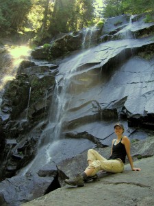
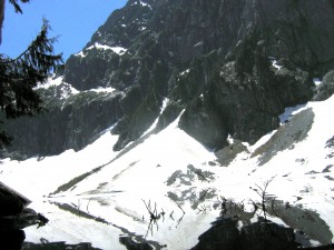
The lake was really beautiful. I scrambled around on the snow, of course. That was last weekend. This weekend, we did:
Monte Cristo and Poodle Dog Pass
Mostly because I wanted to find another way down to Mineral City, we decided to try the monte cristo hike. This time, Robert came along. Since this hike is supposed to have a boring and bikable first 4 miles, we loaded bikes into and onto my jeep and headed out to the Mountain Loop highway. We heard from a ranger that the 1st mile was going to involve us carrying our bikes a lot. He was right. We had to cross a log over the river and get over lots of cables holding the logs in place.
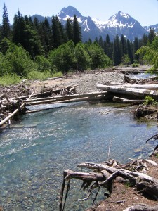
Then the road was a little bumpy for a while, with quite a few trees in the road. Good mountain bikers can get through the rocks, but we were walking for a while. Still, having bikes made the trip to monte cristo fairly painless. Going back down was exceptionally fast. Once in Monte Cristo, we had some lunch and checked out the working train turn table, while scanning the mountains for mines.
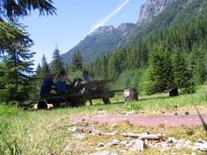
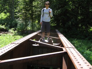
We didn’t see any mines, so we hiked up about 2000 ft. to Poodle Dog Pass. It was a nice hike that took probably 2 hours. Up there we saw lots of snow.
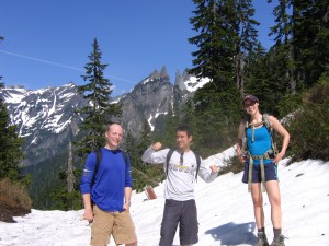
Crystal lake had these incredible water falls coming down from snow-melt. It was breathtaking.
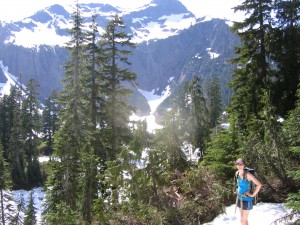
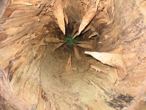
On the way down, we got to see what branches look like from the inside of a tree:
We biked out of there and ate dinner at a Thai place on capitol hill. This whole big-city-right-next-to-mountains thing is nice.